Customise Consent Preferences

We use cookies to help you navigate efficiently and perform certain functions. You will find detailed information about all cookies under each consent category below.

The cookies that are categorised as "Necessary" are stored on your browser as they are essential for enabling the basic functionalities of the site. ... 

Always Active

Necessary cookies are required to enable the basic features of this site, such as providing secure log-in or adjusting your consent preferences. These cookies do not store any personally identifiable data.

No cookies to display.

Functional cookies help perform certain functionalities like sharing the content of the website on social media platforms, collecting feedback, and other third-party features.

No cookies to display.

Analytical cookies are used to understand how visitors interact with the website. These cookies help provide information on metrics such as the number of visitors, bounce rate, traffic source, etc.

No cookies to display.

Performance cookies are used to understand and analyse the key performance indexes of the website which helps in delivering a better user experience for the visitors.

No cookies to display.

Advertisement cookies are used to provide visitors with customised advertisements based on the pages you visited previously and to analyse the effectiveness of the ad campaigns.

No cookies to display.

Tag - Magura Wątkowska

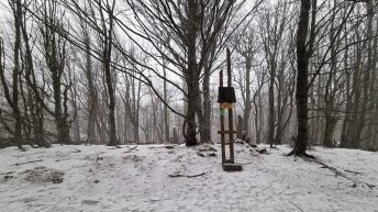
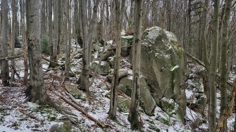
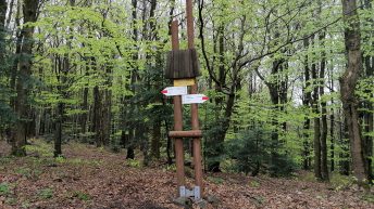
Magura Wątkowska – pasmo górskie w zachodniej części Beskidu Niskiego, rozciągające się na długości ponad 20 kilometrów od Małego Ferdla nad Wapiennem aż po Kamień nad Kątami. Do najbardziej charakterystycznych kulminacji należy Wątkowa (846 m n.p.m.), Kornuty (830 m n.p.m.), Świerzowa (801 m n.p.m.) oraz najbardziej wysunięte na wschód ale i najbardziej charakterystyczne, nie mające tak rozległych i płaskich wierzchołków jak pozostałe szczyty w paśmie – Kolanin (705 m n.p.m.) i Kamień nad Kątami (714 m n.p.m.). Na całej długości grzbiet jest porośnięty gęstym bukowym lasem a jego średnia wysokość to około 800 metrów. Północne stoki stromo opadają do dolin Libuszanki, Ropy i Kłopotnicy, wschodnie i południowe stoki opadają do dolinhy Wisłoki, a południowo-zachodnie do doliny Bartnianki. Zdecydowana większość pasma znajduje się na terenie Magurskiego Parku Narodowego. Na terenie Kornutów znajdują się wychodnie skalne, które objęto ochroną tworząc Rezerwat Przyrody Kornuty.