🇵🇱
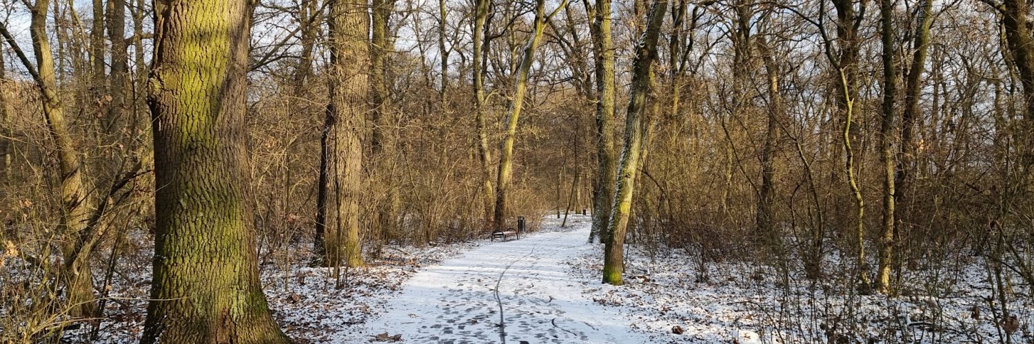
🚶 Wirtualna wędrówka: Spacer po Lasku Mogilskim w Krakowie, Polska
🏞️ Trasa: ul. Longinusa Podbipienty (197 m n.p.m.; 50.053323, 20.061448) – Północna część lasku (204 m n.p.m.; 50.057511, 20.058954) – Kaplica Matki Boskiej Częstochowskiej w Lasku Mogilskim (204 m n.p.m.; 50.057511, 20.058954) – ul. Longinusa Podbipienty (202 m n.p.m.; 50.054349, 20.052849)
🆔 Oznaczenie: leśne alejki oznaczone na mapie
📏 Długość: około 2,5 km
⏲️ Czas przejścia: około 0:30 h
↗️ Suma podejść: 50 m
↘️ Suma zejść: 47 m
00:00:23 ul. Longinusa Podbipienty
00:09:13 Północna część lasku (204 m n.p.m.)
00:18:56 Kaplica Matki Boskiej Częstochowskiej w Lasku Mogilskim
00:28:54 ul. Longinusa Podbipienty
Nizina Nadwiślańska – mezoregion fizycznogeograficzny w południowej Polsce będący częścią Kotliny Sandomierskiej, na pograniczu Wyżyny Małopolskiej i Podkarpacia Północnego. Tworzy szeroką dolinę w górnym biegu Wisły. Region obejmuje również dolinę dolnego Dunajca i końcowy odcinek rzeki Wisłoki.
Na północno-zachodnich rubieżach regionu rzeka Wisła wycina swą doliną wyraźny próg zwany terasem nad zalewowym. Ku wschodowi Nizina przechodzi w rozległy obszar wypełniony utworami piaszczystymi z widocznymi nieraz w krajobrazie pasmami wydm. To głównie obszar międzyrzecza Wisły i Raby, kraina bagnista na północy wskutek minimalnego spływu wód i piaszczysta w części południowej, o niewielkich różnicach wysokościowych terenu. Powierzchnię tą zajmuje w znacznym stopniu, zwłaszcza w części bocheńskiej Niziny Puszcza Niepołomicka, środowisko lasów o różnorodnym składzie gatunkowym, z zachowanymi enklawami roślinności pradawnej puszczy.
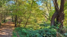
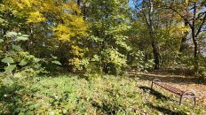
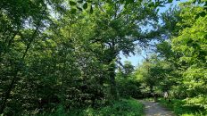
Lasek Mogilski to fragment rzadkiego na południu Polski łęgu wiązowo-jesionowego. Jest to najlepiej zachowany kompleks, n terenie miasta Krakowa i najbliższej okolicy, będący pozostałością łęgów, rozciągających się pierwotnie w zasięgu rozlewisk Wisły.
Drzewostan Lasu Mogilskiego wykazuje cechy bardzo zbliżone do lasów naturalnych i zbudowany jest głównie przez wiąza szypułkowego i dęba szypułkowego, które osiągają tu wiek ok. 160 lat. W drugim piętrze, w wieku około 90 lat, poza ww. gatunkami dodatkowo występuje jesion wyniosły oraz domieszkowo klon pospolity i lipa drobnolistna.
Sędziwy wiek najstarszych drzew powoduje, iż poszczególne egzemplarze sukcesywnie zamierają. W trakcie prac pielęgnacyjnych, z najwyższego piętra drzewostanu usuwane są jedynie drzewa obumarłe, bądź grożące upadkiem, pozostawia się natomiast kilkumetrowe pnie najgrubszych drzew. Są one siedliskiem dla całego szeregu ptaków, owadów, roślin naczyniowych i grzybów.
Film zarejestrowany w dniu 18 stycznia 2022 roku.
🇬🇧
🚶 Virtual hike: A walk in the Mogiła Forest in Krakow, Poland
🏞️ Route: Longinus Podbipienta Street (197 m a.s.l; 50.053323, 20.061448) – Northern part of the forest (204 m a.s.l; 50.057511, 20.058954) – Chapel of Our Lady of Częstochowa in the Mogiła Forest (204 m a.s.l; 50.057511, 20.058954) – Longinus Podbipienta Street (202 m a.s.l; 50.054349, 20.052849)
🆔 Trail designation: forest alleys marked on the map
📏 Length: about 2.5 km
⏲️ Walking time: about 0:30 h
↗️ Sum of approaches: 50 m
↘️ Sum down: 47 m
00:00:23 Longinus Podbipienta Street
00:09:13 Northern part of the forest
00:18:56 Chapel of Our Lady of Częstochowa in the Mogiła Forest
00:28:54 Longinus Podbipienta Street
The Vistula Lowland – a physical and geographic mesoregion in southern Poland, part of the Sandomierz Basin, on the border of the Małopolska Upland and Northern Subcarpathia. It creates a wide valley in the upper reaches of the Vistula River. The region also includes the valley of the lower Dunajec and the final section of the Wisłoka River.
In the north-western part of the region, the Vistula River cuts through its valley a distinct threshold known as the floodplain terrace. Towards the east, the lowland changes into a vast area filled with sandy formations with bands of dunes that are often visible in the landscape. It is mainly the area between the Vistula and Raba rivers, a swampy area in the north due to minimal runoff of water and a sandy one in the southern part, with small height differences in the terrain. This area is largely occupied, especially in the Bochnia part of the Niepołomice Lowlands, with forests of various species composition, with preserved enclaves of the primeval forest vegetation.
The Mogiła Forest is a fragment of the elm and ash forest, which is rare in the south of Poland. It is the best-preserved complex in the city of Krakow and its vicinity, being a remnant of riparian forests, originally extending within the range of the Vistula backwaters.
The stand of the Mogiła Forest has features very similar to natural forests and is built mainly by English elm and English oak, which here are around 160 years old. On the second floor, at the age of about 90, apart from the above-mentioned additionally, common ash and small-leaved linden are present in the species.
Due to the old age of the oldest trees, individual specimens are gradually dying out. During the tending work, only dead trees or trees threatening to fall are removed from the top level of the stand, while trunks of the thickest trees several meters long are left behind. They are home to a wide variety of birds, insects, vascular plants and fungi.
The film was recorded on January 18, 2022.


