🇵🇱
🚶 Wirtualna wędrówka: Ostra i Jeżowa Woda z Młyńczysk, Polska
🏞️ Trasa: Młyńczyska, parking koło cmentarza (620 m n.p.m.; 49.625592, 20.411836) – Jeżowa Woda (895 m n.p.m.; 49.640692, 20.406278) – Ostra (925 m n.p.m.; 49.643242, 20.392562) – Przełęcz pod Ostrą (812 m n.p.m.; 49.642101, 20.386422 ) – Młyńczyska, parking koło cmentarza (620 m n.p.m.; 49.625592, 20.411836)
🆔 Oznaczenie: niebieski szlak, zielony szlak, drogi oznaczone na mapie
📏 Długość: około 8,0 km
⏲️ Czas przejścia: około 2:30 h
↗️ Suma podejść: 309 m
↘️ Suma zejść: 309 m
00:00:22 Młyńczyska, parking koło cmentarza
00:02:11 Potok
00:38:20 Skrzyżowanie zielonego i niebieskiego szlaku
00:47:59 Skrzyżowanie zielonego i niebieskiego szlaku
00:56:28 Jeżowa Woda
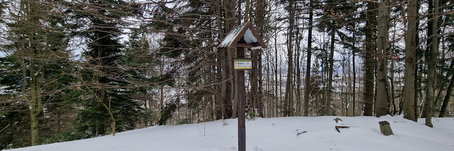
01:27:05 Ostra
01:42:56 Przełęcz pod Ostrą
01:43:40 Zejście ze szlaku
02:15:40 Przysiółek Jeżowa Woda
02:22:48 Potok Jastrząbka
02:29:04 GROMADA MŁYŃCZYSKA – Pomnik ku czci bohaterów i męczenników Polskich
02:29:48 Młyńczyska, parking koło cmentarza
Beskid Wyspowy – część Beskidów Zachodnich położona pomiędzy doliną Raby a Kotliną Sądecką. Charakteryzuje się występowaniem odosobnionych, pojedynczych szczytów, od czego pochodzi jego nazwa.
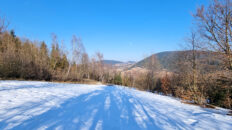
Ostra (925 m n.p.m.) – szczyt w Beskidzie Wyspowym, należący do Pasma Ostrej. Szczyt jak i całe pasmo jest porośnięte lasem. Pomiędzy szczytami Jeżowa Woda i Ostra pojawiają się niewielkie przerwy leśne, z których zwłaszcza zimą można podziwiać widoki na północną i południową stronę pasma. Przepiękny widok pojawia się od południowo-zachodniej strony góry przy zejściu zielonym szlakiem na Przełęcz Pod Ostrą. Widać stąd znakomicie Modyń oraz rozległą panoramę Beskidu Sądeckiego, Gorców i Beskidu Wyspowego.
Jeżowa Woda (895 m n.p.m.) – szczyt w Beskidzie Wyspowym w Paśmie Ostrej, pomiędzy Ostrą a Skiełkiem. Od południowej strony stoki Jeżowej Wody opadają do doliny potoku Jastrzębik, ze stoków północnych spływają źródłowe potoki Słomki. Sam wierzchołek Jeżowej Wody jest porośnięty lasem, ale na wschód od wierzchołka znajduje się bezleśny teren przysiółka Jeżowa Woda.
Przełęcz Pod Ostrą (812 m n.p.m.) – przełęcz w Beskidzie Wyspowym między Cichoniem a Ostrą. Jest jedną z najwyższych przejezdnych przełęczy Beskidu Wyspowego. Zbocza południowe to odsłonięte stoki pół uprawnych wsi Młyńczyska, z których roztaczają się rozległe widoki na Beskid Sądecki, Gorce, Beskid Wyspowy oraz Tatry.
Film zarejestrowany w dniu 5 lutego 2022 roku.
🇬🇧
🚶 Virtual hike: Ostra Mountain and Jeżowa Woda Mountain from Młyńczyska, Poland
🏞️ Route: Młyńczyska, parking lot next to the cemetery (620 m a.s.l.; 49.625592, 20.411836) – Jeżowa Woda Mountain (895 m a.s.l.; 49.640692, 20.406278) – Ostra Mountain (925 m a.s.l.; 49.643242, 20.392562) – The pass near Ostra (812 m a.s.l.; 49.642101, 20.386422 ) – Młyńczyska, parking lot next to the cemetery (620 m a.s.l.; 49.625592, 20.411836)
🆔 Trail designation: blue trail, green trail, roads marked on the map
📏 Length: about 7.2 km
⏲️ Walking time: about 2:20 h
↗️ Sum of approaches: 309 m
↘️ Sum down: 309 m
00:00:22 Młyńczyska, parking lot next to the cemetery
00:02:11 Stream
00:38:20 The crossing of the green and blue trails
00:47:59 The crossing of the green and blue trails
00:56:28 Jeżowa Woda Mountain
01:27:05 Ostra Mountain
01:42:56 The pass near Ostra
01:43:40 Going off the trail
02:15:40 Jeżowa Woda hamlet
02:22:48 Jastrząbka Stream
02:29:04 GROMADA MŁYŃCZYSKA – Monument in honor of the heroes and martyrs of Poland
02:29:48 Młyńczyska, parking lot next to the cemetery
Wyspowy Beskid – part of the Western Beskids located between the Raba valley and the Sądecka Basin. It is characterized by the presence of isolated, single peaks, from which it got its name.
Ostra (925 m a.s.l.) – a peak in the Beskid Wyspowy, belonging to the Ostra Range. The peak as well as the whole range is covered with forest. There are small forest breaks between the peaks of Jeżowa Woda and Ostra, from which, especially in winter, you can admire the views of the northern and southern side of the range. There is a beautiful view from the south-west side of the mountain when you go down the green trail to the Pod Ostra Pass. From here you can perfectly see Modyń Mountain and the vast panorama of Beskid Sądecki, Gorce and Beskid Wyspowy.
Jeżowa Woda (895 m a.s.l.) – the peak in the Beskid Wyspowy in the Ostra Range, between Ostra and Skiełek. From the south, the slopes of Jeżowa Woda descend to the valley of the Jastrzębik stream, and the spring streams of Słomka flow from the northern slopes. The very top of Jeżowa Woda Mountain is covered with forest, but to the east of the top there is a forestless area of the hamlet of Jeżowa Woda.
The pass near Ostra (812 m a.s.l.) – a pass in the Beskid Wyspowy between Cichoń and Ostra. It is one of the highest passable passes of the Beskid Wyspowy. The southern slopes are exposed slopes of semi-cultivated villages of Młyńczyska, from which there are extensive views of Beskid Sądecki, Gorce, Beskid Wyspowy and the Tatra Mountains.
The film was recorded on February 5, 2022.


