🇵🇱
🚶 Wirtualna wędrówka: Wędrówka Szlakiem Jaskiniowców na Grodzisko Pańskie, Polska
🏞️ Trasa: Dolina Wodącej (408 m n.p.m.; 50.674998, 19.401051) – Jaskinia Zegar (430 m n.p.m.; 50.428879, 19.674035) – Jaskinia Jasna (476 m n.p.m.; 50.674998, 19.401051) – Grodzisko Pańskie (485 m n.p.m.; 50.419651, 19.669320) – Grodzisko Chłopskie (395 m n.p.m.; 50.426593, 19.665184) – Dolina Wodącej (408 m n.p.m.; 50.674998, 19.401051)
🆔 Oznaczenie: zielony szlak
📏 Długość: około 5,3 km
⏲️ Czas przejścia: około 1:40 h
↗️ Suma podejść: 171 m
↘️ Suma zejść: 171 m
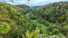
00:00:23 Dolina Wodącej
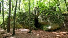
00:04:20 Jaskinia Zegar
00:14:34 Zejście ze szlaku
00:19:44 Jaskinia Jasna
00:30:04 Powrót na zielony szlak
00:46:20 Skrzyżowanie czarnego i zielonego szlaku
00:55:57 Skrzyżowanie czarnego, zielonego i niebieskiego szlaku
00:58:46. Skrzyżowanie czarnego, niebieskiego i zielonego szlaku
01:01:43 Skrzyżowanie zielonego szlaku, niebieskiego szlaku i ścieżki dydaktycznej czerwonej
01:11:52 Grodzisko Pańskie
01:32:51 Skrzyżowanie zielonego szlaku i ścieżki dydaktycznej czerwonej
01:38:55 Skrzyżowanie zielonego szlaku, niebieskiego szlaku, czerwonego szlaku i ścieżki dydaktycznej czerwonej
01:40:23 Grodzisko Chłopskie
01:42:12 Skrzyżowanie zielonego szlaku, niebieskiego szlaku, czerwonego szlaku i ścieżki dydaktycznej czerwonej
01:44:38 Skrzyżowanie zielonego szlaku, niebieskiego szlaku, czerwonego szlaku i ścieżki dydaktycznej czerwonej
01:50:25 Dolina Wodącej
Jura Krakowsko-Częstochowska – makroregion geograficzny położony w południowej Polsce tworzący pas o długości około 80 km pomiędzy Krakowem a Częstochową. Składa się z czterech mezoregionów: Wyżyny Częstochowskiej, Wyżyny Olkuskiej, Rowu Krzeszowickiego i Garbu Tenczyńskiego.
Na terenie Jury znajduje się system średniowiecznych zamków, niegdyś strzegących granicy Królestwa Polskiego przed napadami z Górnego Śląska, są to tak zwane Orle Gniazda.
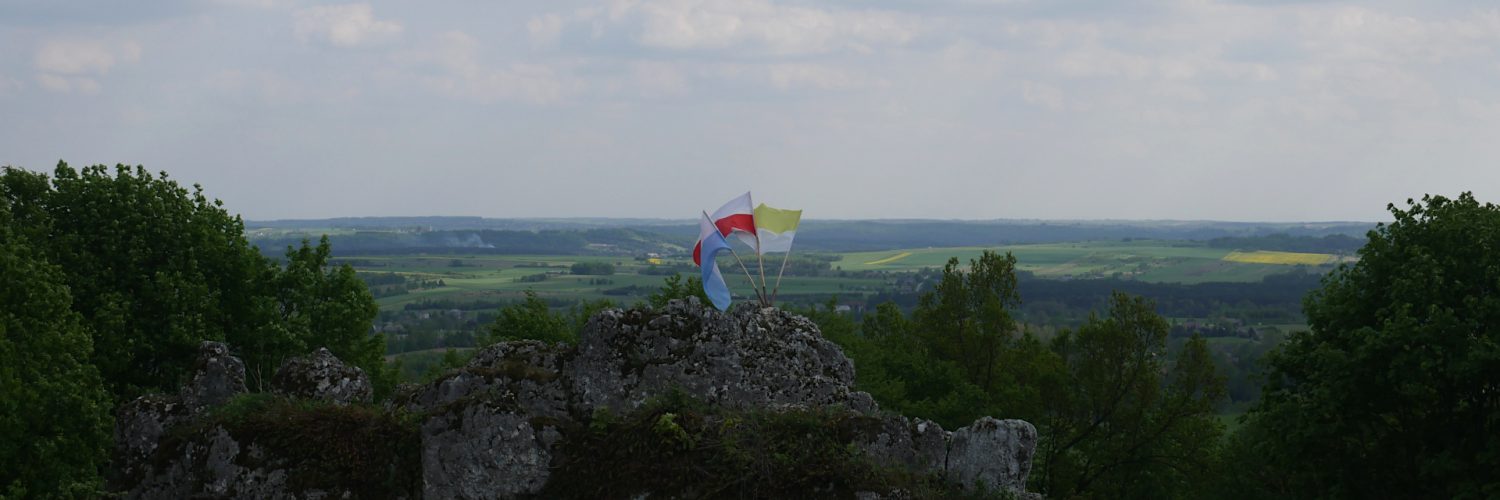
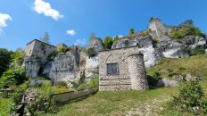
Grodzisko Pańskie – wzniesienie o wysokości 485 m n.p.m. na Jurze Krakowsko-Częstochowskiej znajdujące się w paśmie wzniesień tworzących lewe zbocza Doliny Wodącej. Na szczycie wzniesienia znajduje się grupa skał w formie długiego grzebienia. Złomy i ściany skalne dzielą szczyt na szereg wyodrębnionych placów. Na szczycie wzniesienia znajdował się ufortyfikowany gród obronny, który od 2 poł. XII do 1 poł. XIV w. stanowił najsilniejsze ogniwo systemu obronnego na odcinku Smoleń-Strzegowa. Ze szczytu roztacza się szeroka panorama widokowa.
Film zarejestrowany w dniu 14 maja 2022 roku.
🇬🇧
🚶 Virtual hike: Hiking the Cavemen Trail to the Grodzisko Pańskie Hill, Poland
🏞️ Route: Wodąca Valley (408 m a.s.l.; 50.674998, 19.401051) – Zegar Cave (430 m a.s.l.; 50.428879, 19.674035) – Jasna Cave (476 m a.s.l.; 50.674998, 19.401051) – Grodzisko Pańskie Hill (485 m a.s.l.; 50.419651, 19.669320) – Grodzisko Chłopskie Hill (395 m a.s.l.; 50.426593, 19.665184) – Wodąca Valley (408 m a.s.l.; 50.674998, 19.401051)
🆔 Trail designation: green trail
📏 Length: about 5.3 km
⏲️ Walking time: about 1:40 h
↗️ Sum of approaches: 171 m
↘️ Sum down: 171 m
00:00:23 Wodąca Valley
00:04:20 Zegar Cave
00:14:34 Going off the trail
00:19:44 Jasna Cave
00:30:04 Return to the green trail
00:46:20 Crossing of the black trail and the green trail
00:55:57 Crossing of the green, the black and the blue trails
00:58:46 Crossing of the green, the black and the blue trails
01:01:43 Crossing of the green trail, the blue trail and the red educational trail
01:11:52 Grodzisko Pańskie Hill
01:32:51 Crossing of the green trail and the red educational trail
01:38:55 Crossing of the green trail, the blue trail, the red trail and the red educational trail
01:40:23 Grodzisko Chłopskie Hill
01:42:12 Crossing of the green trail, the blue trail, the red trail and the red educational trail
01:44:38 Crossing of the green trail, the blue trail, the red trail and the red educational trail
01:50:25 Wodąca Valley
Kraków-Częstochowa Upland – a geographic macroregion located in southern Poland, forming a 80 km long belt between Kraków and Częstochowa. It consists of four mesoregions: the Częstochowa Upland, the Olkusz Upland, the Krzeszowice Trench and the Tenczyński Garb.
In the territory of the Jura there is a system of medieval castles that used to guard the border of the Kingdom of Poland against attacks from Upper Silesia, these are the so-called Eagles’ Nests.
Grodzisko Pańskie Hill – a hill 485 m a.s.l. in the Kraków-Częstochowa Upland located in the range of hills forming the left slopes of the Wodąca Valley. At the top of the hill there is a group of rocks in the form of a long ridge. Scrap and rock walls divide the summit into a number of separate squares. At the top of the hill there was a fortified town, which from the second half of the XII to the 1st half of The 14th century was the strongest link in the defense system in the Smoleń-Strzegowa section. There is a wide panoramic view from the top.
The film was recorded on May 14, 2022.


