🇵🇱
🚶 Wirtualna wędrówka: Wejście na Solnisko z Obidowej, Polska
🏞️ Trasa: Obidowa, parking (783 m n.p.m.; 49.549132, 20.034084) – Polana Nalewajki (1085 m n.p.m.; 49.549132, 20.034084) – Polana Spalone (1092 m n.p.m.; 49.545585, 20.063433) – Polana Gorzec (1114 m n.p.m.; 49.545905, 20.068577) – Średni Wierch (1122 m n.p.m.; 49.547182, 20.075594) – Polana Kałużna (1107 m n.p.m.; 49.547517, 20.080342) – Solnisko (1183 m n.p.m.; 49.545957, 20.088485)
🆔 Oznaczenie: drogi bez szlaku oznaczone na mapie
📏 Długość: około 4,3 km
⏲️ Czas przejścia: około 1:50 h
↗️ Suma podejść: 398 m
↘️ Suma zejść: 0 m
00:00:24 Obidowa, parking
00:01:11 Lepietnica
00:43:40 Polana Nalewajki
00:49:40 Kapliczka
00:53:59 Polana Gorzec
01:03:09 Średni Wierch
01:09:57 Polana Kałużna
01:24:40 Solnisko
Gorce – pasmo górskie należące do Beskidów Zachodnich. Położone jest miedzy dolinami rzek Raba i Dunajec. Na północy graniczy z Beskidem Wyspowym, a na południu z Podhalem. Krajobraz Gorców stanowią rozchodzące się promieniście różnej długości grzbiety rozdzielone głęboko wciętymi dolinami o stromych zboczach. Szczególną wartość dla krajobrazu i przyrody Gorców mają polany reglowe. Powstały w wyniku tradycyjnej gospodarki pasterskiej. Znajdują się na nich liczne drewniane szałasy pasterskie reprezentujące regionalne budownictwo zagórzańskie i podhalańskie. Utworzony w 1981 roku Gorczański Park Narodowy chroni centralną część Gorców, obejmuje najmniej zmienione przez człowieka dolnoreglowe lasy mieszane, zwane buczyną karpacką.
Solnisko (Solisko) – szczyt o wysokości 1183 m n.p.m. w Gorcach, znajdujący się w krótkim bocznym grzbiecie, który odgałęzia się od wzniesienia Rozdziele i poprzez Solnisko i Średni Wierch biegnie w zachodnim kierunku. Grzbiet ten oddziela potok Lepietnica od jego dopływu – potoku Obidowiec. Nazwa szczytu pochodzi od miejsca, w którym wykładano sól dla wypasanego bydła i owiec. Dawniej grzbiet i stoki Solniska pokrywały rozległe polany, na których wypasane były owce. Pasterstwo jednak załamało się, użytkowanie trudno dostępnych i wysoko położonych polan stało się nieopłacalne. Obecnie stopniowo zarastają lasem, w pobliżu znajdują się jeszcze polany Studziarka, Podsolnisko, Pod Rozdziele i Kałużna.
Średni Wierch – szczyt o wysokości 1122 m n.p.m. w Gorcach, wznoszący się nad miejscowością Obidowa. Znajduje się w krótkim bocznym grzbiecie, który odgałęzia się od wzniesienia Rozdziele i poprzez Solnisko i Średni Wierch biegnie w zachodnim kierunku. Szczyt jest porośnięty lasem, dawniej na jego grzbiecie i zboczach znajdowało się wiele polan. Obecnie pozostały jeszcze m.in. polany: Polanka, Stosy, Polana Skodowa, Mała Nowa, Tynowo, Nad Papiernią, Nalewajki, Spalone, Gorzec, Polana Mokra, Zakrzesy, Solisko, Grześ. Obecnie polany stopniowo zarastają lasem.
Film zarejestrowany w dniu 30 sierpnia 2022 roku.
🇬🇧
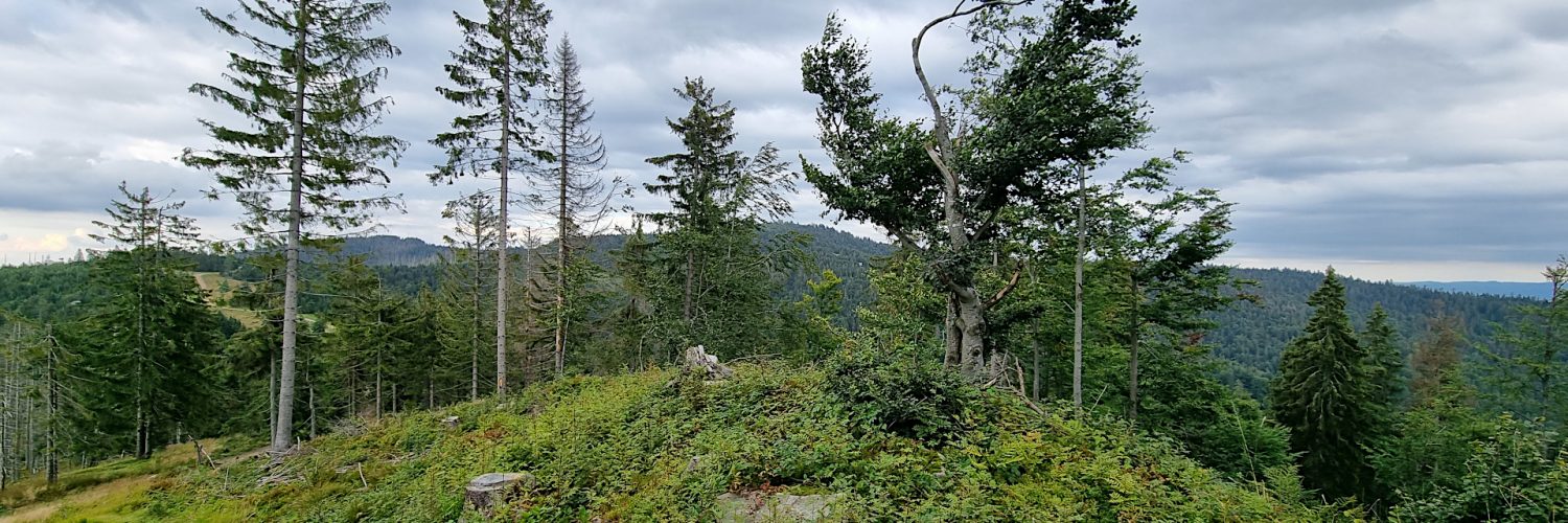
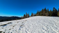
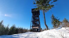
Summer hiking in the Gorce Mountains. From Obidowa we go along forest roads to Solnisko Mountain. Initially, we go through the forest and after going above 1000 m a.s.l. we are already wandering through beautiful, though overgrown with forest glades. We go through Nalewajki Glade, Gorzec Glade and then we go up to Średni Wierch Mountain. Before entering the Solnisko Mountain, we pass through Kałużna Glade, from which there are extensive views of the Tatra Mountains, the Beskid Żywiecki Mountains and the Wyspowy Beskid. At the top, we admire the beautiful panorama of the Gorce Mountains with the highest peak – Turbacz.
🚶 Virtual hike: Ascent to Solnisko Mountain from Obidowa, Poland
🏞️ Route: Obidowa, parking (783 m a.s.l.; 49.549132, 20.034084) – Nalewajki Glade (1085 m a.s.l.; 49.549132, 20.034084) – Spalone Glade (1092 m a.s.l.; 49.545585, 20.063433) – Gorzec Glade (1114 m a.s.l.; 49.545905, 20.068577) – Średni Wierch Mountain (1122 m a.s.l.; 49.547182, 20.075594) – Kałużna Glade (1107 m a.s.l.; 49.547517, 20.080342) – Solnisko Mountain (1183 m a.s.l.; 49.545957, 20.088485)
🆔 Trail designation: forest roads marked on the map
📏 Length: about 4.3 km
⏲️ Walking time: about 1:50 h
↗️ Sum of approaches: 398 m
↘️ Sum down: 0 m
00:00:24 Obidowa, parking
00:01:11 Lepietnica Stream
00:43:40 Nalewajki Glade
00:48:09 Spalone Glade
00:49:40 Chapel
00:53:59 Gorzec Glade
01:03:09 Średni Wierch Mountain
01:09:57 Kałużna Glade
01:24:40 Solnisko Mountain
Gorce Mountains – a mountain range belonging to the Western Beskids. It is situated between the valleys of the rivers Raba and Dunajec. It borders with Beskid Wyspowy in the north and Podhale in the south. The landscape of the Gorce Mountains consists of radially diverging ridges of various lengths separated by deeply cut valleys with steep slopes. The mountain clearings are of particular value for the landscape and nature of the Gorce Mountains. They were created as a result of the traditional pastoral economy. There are numerous wooden shepherd’s huts representing the regional architecture of Zagórze and Podhale. Created in 1981, the Gorce National Park protects the central part of the Gorce Mountains, and includes the least changed by man mixed forests, known as the Carpathian beech forest.
Solnisko Mountain (Solisko) – a peak with a height of 1183 m a.s.l. in the Gorce Mountains, located in a short side ridge, which branches off the Rozdziele hill and runs through Solnisko Mountain and Średni Wierch Mountain to the west. This ridge separates the Lepietnica Stream from its tributary – the Obidowiec Stream. The name of the peak comes from the place where salt was laid for grazing cattle and sheep. In the past, the ridge and slopes of Solnisko were covered with vast clearings with sheep grazing. However, pastoralism collapsed and the use of hard-to-reach and high-lying clearings became unprofitable. Currently, they are gradually overgrown with forest, there are also Studziarka, Podsolnisko, Pod Rozdziele and Kałużna clearings nearby.
Średni Wierch Mountain – a peak with a height of 1122 m a.s.l. in the Gorce Mountains, overlooking the village of Obidowa. It is located in a short side ridge, which branches off the Rozdziele hill and runs west through Solnisko and Średni Wierch. The summit is covered with forest, formerly there were many clearings on its ridge and slopes. Currently, there are, among others, clearings: Polanka, Stosy, Skoda Clearing, Mała Nowa, Tynowo, Nad Papiernia, Nalewajki, Spalone, Gorzec, Mokra Clearing, Zakrzesy, Solisko, Grześ. Currently, the clearings are gradually overgrown with forest.
The film was recorded on August 30, 2022.


