🇨🇿
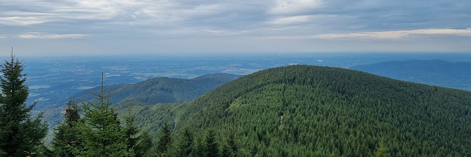
🚶 Virtuální túra: Sestup z Lysé hory přes Malchor do Malenovic, Česká republika
🏞️ Trasa: Lysá hora (1324 m n.m.; 49.545971, 18.447326) – Křižovatka cest u Malchor (1205 m n.m.; 49.551071, 18.448560) – Malchor (1219 m n.m.; 49.554818, 18.449146) – Křižovatka cest u Malchor (1205 m n.m.; 49.551071, 18.448560) – Mohyla Ivančena (939 m n.m.; 49.567386, 18.438149) – Hradová, nad salašem (790 m n.m.; 49.571508, 18.429989) – Parkoviště u Hotel Petr Bezruč (630 m n.m.; 49.567185, 18.425649)
🆔 Označení stezky: žlutá stezka, modrá stezka, zelená stezka
📏 Délka: cca 6,9 km
⏲️ Doba chůze: cca 2:00 h
↗️ Suma přístupů: 18 m
↘️ Sestup: 696 m
00:00:21 Lysá hora
00:17:33 Křižovatka cest u Malchor
00:21:08 Sjíždění ze stezky
00:24:42 Mýtina
00:26:11 Malchor
00:30:10 Vrátit se na žlutou stezku
00:33:40 Křižovatka cest u Malchor
01:02:56 Mohyla Ivančena
01:05:57 Křižovatka žluté a modré stezky
01:28:53 Hradová, nad salašem
01:29:07 Křižovatka modré a zelené stezky
01:33:34 Křižovatka modré a zelené stezky
01:47:45 Parkoviště u Hotel Petr Bezruč (630 m n.m.)
Moravskoslezské Beskydy – pohoří na hranici České republiky a Slovenska. Je to nejzápadnější část Západních Beskyd ve Vnějších Západních Karpatech. Od severozápadu s výrazným prahem klesá v Moravskoslezském podhůří (součást Podbeskydské pahorkatiny), na jih od Wsetyńských hor je oddělen Rożnovským příkopem s údolím Dolné Beczwy, na jihu- na východě ji odděluje od Jaworniki horní údolí Kisuca, na východě od Beskyd Śląski odděluje Jabłonkowski příkop, kterým protéká řeka Olza, a Międzygórze Jabłonkowskie s vrcholem Girowa. Rozloha takto označeného mezoregionu je 623 km² a pokrývá jihozápadní část Těšínského Slezska a severovýchodní část Moravy.
Moravskoslezské Beskydy tvoří karpatský flyš, převážně slezský napa. Dominují mu godulské pískovce, tvoří se istebenské pískovce.
Fyzikálně a geograficky se tato pohoří dělí na tři mikroregiony: Radhošťská hornatina, Lysohorská hornatina a Klokočovská hornatina.
Nejvyšším vrcholem je Lysá hora (1324 m n.m.).
Malchor – vrchol v Moravskoslezských Beskydech, 1219 m n.m. leží 1 km severně od Lysé hory. Malchor je porostlý hustým lesem, na západních svazích je vytvořena přírodní rezervace Malenovický kotel. Na průsmyku mezi Malchorem a Lysou horou je rozcestí s modrou a žlutou turistickou značkou. Modrá obchází vrchol ze západu a žlutá z východu, na vrchol nevede žádná značená cesta.
Film byl natočen 13. září 2022.
🇬🇧
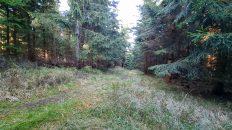
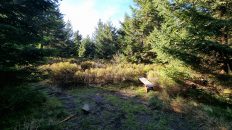
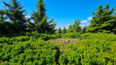
The second part of the summer hike in the Moravian-Silesian Beskids in the Czech Republic. From Lysá hora we descend to a small pass and then we ascend the wooded peak of Malchor. The top is off the trail, there is a path unmarked on the map that leads to it. After returning to the pass, we descend the blue and green trails to the parking lot at the Petr Bezruč hotel. On the way, we visit Ivančena Mound, built in memory of scouts shot for participating in the anti-Nazi resistance movement Odboj Sileských Junák.
🚶 Virtual hike: Descent from Lysá hora Mountain through Malchor Mountain to Malenovice, Czech Republic
🏞️ Route: Lysá hora (1324 m a.s.l.; 49.545971, 18.447326) – Crossing at Malchor (1205 m a.s.l.; 49.551071, 18.448560) – Malchor (1219 m a.s.l.; 49.554818, 18.449146) – Crossing at Malchor (1202 m a.s.l.; 49.551071, 18.448560) – Mohyla Ivančena (939 m a.s.l.; 49.567386, 18.438149) – Hradová, nad salašem (790 m a.s.l.; 49.571508, 18.429989) – Parking at Petr Bezruč Hotel (630 m a.s.l.; 49.567185, 18.425649)
🆔 Trail designation: yellow trail, blue trail, green trail
📏 Length: about 6.9 km
⏲️ Walking time: about 2:00 h
↗️ Sum of approaches: 18 m
↘️ Sum down: 696 m
00:00:21 Lysá hora
00:15:32 Crossing of the blue and the yellow trail
00:17:33 Crossing of the blue and the yellow trail at Malchor
00:21:08 Going off the trail
00:24:42 Glade
00:26:11 Malchor
00:30:10 Return to the yellow trail
00:33:40 Crossing of the blue and the yellow trail at Malchor
01:02:56 Ivančena Monument
01:05:57 Crossing of the blue and the red trail
01:28:53 Hradová, nad salašem
01:29:07 Crossing of the blue and the green trail
01:33:34 Crossing of the blue and the green trail
01:47:45 Parking at Petr Bezruč Hotel
Moravian-Silesian Beskids – a mountain range on the border of the Czech Republic and Slovakia. It is the westernmost part of the Western Beskids in the Outer Western Carpathians. From the north-west, it descends with a distinct threshold in the Moravian-Silesian Foothills (part of the Podbeskydská pahorkatina), to the south from the Wsetyńskie Mountains it is separated by the Rożnów Trench with the Dolna Beczwa valley, in the south-east the upper Kisuca valley separates it from Jaworniki, in the east from the Beskid Śląski is separated by the Jabłonkowski Trench with the Olza River flowing through it and Międzygórze Jabłonkowskie with the Girowa peak. The area of the mesoregion so designated is 623 km² and covers the south-western part of Cieszyn Silesia and the north-eastern part of Moravia.
The Moravian-Silesian Beskids are made of the Carpathian flysch, mainly of the Silesian nappa. It is dominated by the Godul sandstones, while the Istebna sandstones form.
In terms of physics and geography, these mountains are divided into three microregions: Radhošťská hornatina, Lysohorská hornatina, and Klokočovská hornatina.
The highest peak is Lysá hora (1324 m a.s.l.).
Malchor – a peak in the Moravian-Silesian Beskids, 1219 m a.s.l. located 1 km north of Lysá hora Mountain. Malchor is covered with a dense forest, on the western slopes a nature reserve Malenovický kotel has been created. On the pass between Malchor and Lysá hora, there is a crossroads with the blue and yellow tourist trails. The blue trail bypasses the summit from the west and the yellow trail from the east, there is no marked path to the summit.
The film was recorded on September 13, 2022.


