

🇵🇱
🚶 Wirtualna wędrówka: Trawna Góra z Przełęczy Zapusta, Polska
🏞️ Trasa: Przełęcz Zapusta (396 m n.p.m.; 49.925104, 19.623374) – Trawna Góra Zachodnia (418 m n.p.m.; 49.928765, 19.587566) – Trawna Góra punkt widokowy (400 m n.p.m.; 49.929885, 19.587867)
🆔 Oznaczenie: niebieski szlak
📏 Długość: około 3,0 km
⏲️ Czas przejścia: około 1:00 h
↗️ Suma podejść: 94 m
↘️ Suma zejść: 90 m
Pogórze Wielickie – mezoregion fizycznogeograficzny, obejmujący fragment przedpola Beskidów, położony pomiędzy dolinami Wieprzówki i Raby. Na zachodzie graniczy z Pogórzem Śląskim, na północnym zachodzie z Kotliną Oświęcimską, na północy z Bramą Krakowską, na południowym wschodzie z Pogórzem Wiśnickim a na południu z Beskidem Makowskim. Najwyższy szczyt to Barnasiówka (566 m n.p.m.).
Trawna Góra – to wzniesienie o dwóch kulminacjach (wschodniej o wysokości 426 m n.p.m i zachodniej o wysokości 418 m n.p.m.) przedzielonych Przełęczą Trawną (393 m n.p.m.) w Paśmie Draboża, w zachodniej części Pogórza Wielickiego.
Przełęcz Zapusta – przełęcz położona na terenie Pogórza Wielickiego (Pasmo Draboża) na wysokości 380 m, pomiędzy szczytami Draboża (432 m n.p.m.) a Trawnej Góry Wschodniej (426 m n.p.m.). Na wschód od przełęczy położony jest przysiółek Drabóż, należący do wsi Stanisław Dolny.
00:30 Przełęcz Zapusta
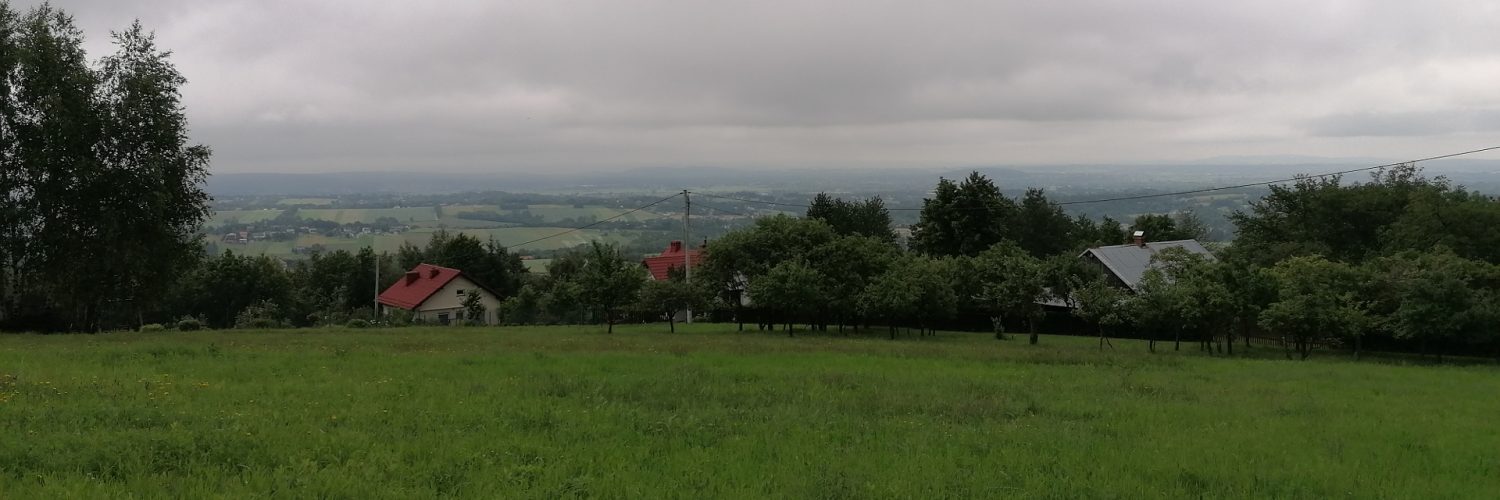
12:29 Kolonia Zalas
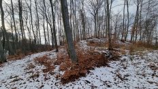
30:16 Trawna Góra Wschodnia
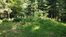
40:29 Trawna Góra Zachodnia
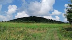
42:53 Trawna Góra punkt widokowy
Film zarejestrowany w dniu 20 czerwca 2020 roku.
🇬🇧
🚶 Virtual hike: Trawna Góra from Zapusta Pass, Poland
🏞️ Route: Zapusta Pass (396 m a.s.l.; 49.925104, 19.623374) – Trawna Góra West (418 m a.s.l.; 49.928765, 19.587566) – Trawna Góra viewpoint (400 m a.s.l.; 49.929885, 19.587867)
🆔 Trail designation: blue trail
📏 Length: about 3.0 km
⏲️ Walking time: about 1:00 h
↗️ Sum of approaches: 94 m
↘️ Sum down: 90 m
The Wieliczka Foothills – a physico-geographic mesoregion, covering a fragment of the Beskids foreground, located between the Wieprzówka and Raba valleys. In the west it borders with the Silesian Foothills, in the north with the Oświęcim Basin, in the north with the Krakowska Gate, in the south-east with the Wiśnickie Foothills and in the south with the Makowski Beskids. The highest peak is Barnasiówka (566 m a.s.l.).
Trawna Góra – is a hill with two culminations (eastern with a height of 426 m a.s.l. and western with a height of 418 m a.s.l.) divided by the Trawna Pass (393 m a.s.l.) in the Draboża Belt, in the western part of the Wieliczka Foothills.
Zapusta Pass – a pass located in the Wieliczka Foothills (Draboża Range) at an altitude of 380 m, between the peaks of Draboża (432 m a.s.l.) and Eastern Eastern Grasslands (426 m a.s.l.). To the east of the pass is the hamlet Drabóż, which belongs to the village of Stanisław Dolny.
00:30 Zapusta Pass
12:29 Zalas colony
30:16 Trawna Góra East
40:29 Trawna Góra West
42:53 Trawna Góra viewpoint
The film was recorded on June 20, 2020.
Add comment